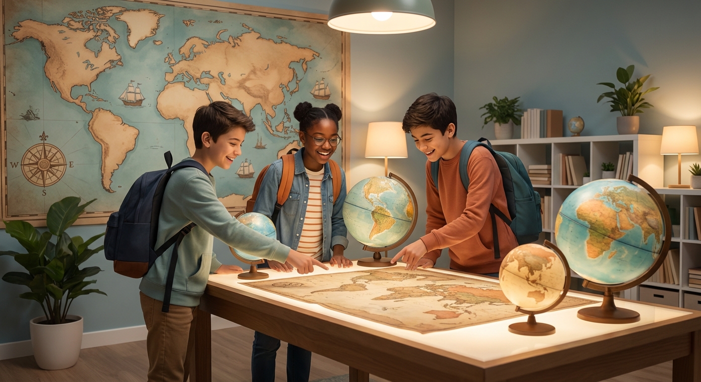
Mapping the World: the Art and Science of Cartography
How Maps Are Made
Cartographers collect data from satellites, drones, and people walking on the ground.
They turn latitude‑longitude numbers into symbols for roads, rivers, and mountains.
A map’s scale tells you how real distance matches the drawing (e.g., 1 cm = 500 m).
Because the Earth is round, map makers choose a projection—Mercator, Robinson, etc.—to flatten it.
Tools and Technology
Today most maps are built with Geographic Information Systems (GIS).
GIS lets you stack climate data, population numbers, and traffic on one picture.
Satellites that see infrared light show where plants are healthy or where water is scarce.
Artificial intelligence can spot things like illegal logging in satellite photos.
Maps in Everyday Life
Your phone’s navigation app uses constantly updated digital maps and live traffic info.
Firefighters and rescue teams rely on real‑time maps to find fires, floods, or missing people.
Businesses draw heat‑maps of customers to decide where to open new stores.
During the 2024 Canadian wildfires, scientists used heat maps to predict where flames would move.
Future, Fun, and Your Own Map
- What’s Next? Augmented‑reality glasses may soon show directions right in front of your eyes.
- Hands‑on Learning: 3‑D printed topographic maps let you feel hills and valleys.
- Join In: Open‑source projects let anyone add local knowledge, making maps more accurate.
Mini Quiz
- What does a map’s scale tell you?
- Name one benefit of GIS over a hand‑drawn map.
- Why do cartographers use different projections?
- How can maps help during a natural disaster?
Simple Experiment
- Take a sheet of paper and a ruler.
- Measure a small park’s length in metres (ask an adult for help).
- Draw a scale bar, for example 1 cm = 10 m.
- Sketch the park’s outline using that scale and add symbols for benches and trees.
- Compare your sketch with an online map of the same park.
Cartography mixes art, science, and technology to turn data into pictures we can read.
By asking why a map looks the way it does, you become a smarter, more curious global citizen.
Grab a notebook, map your neighbourhood, and discover the stories hidden in every street! 🌍