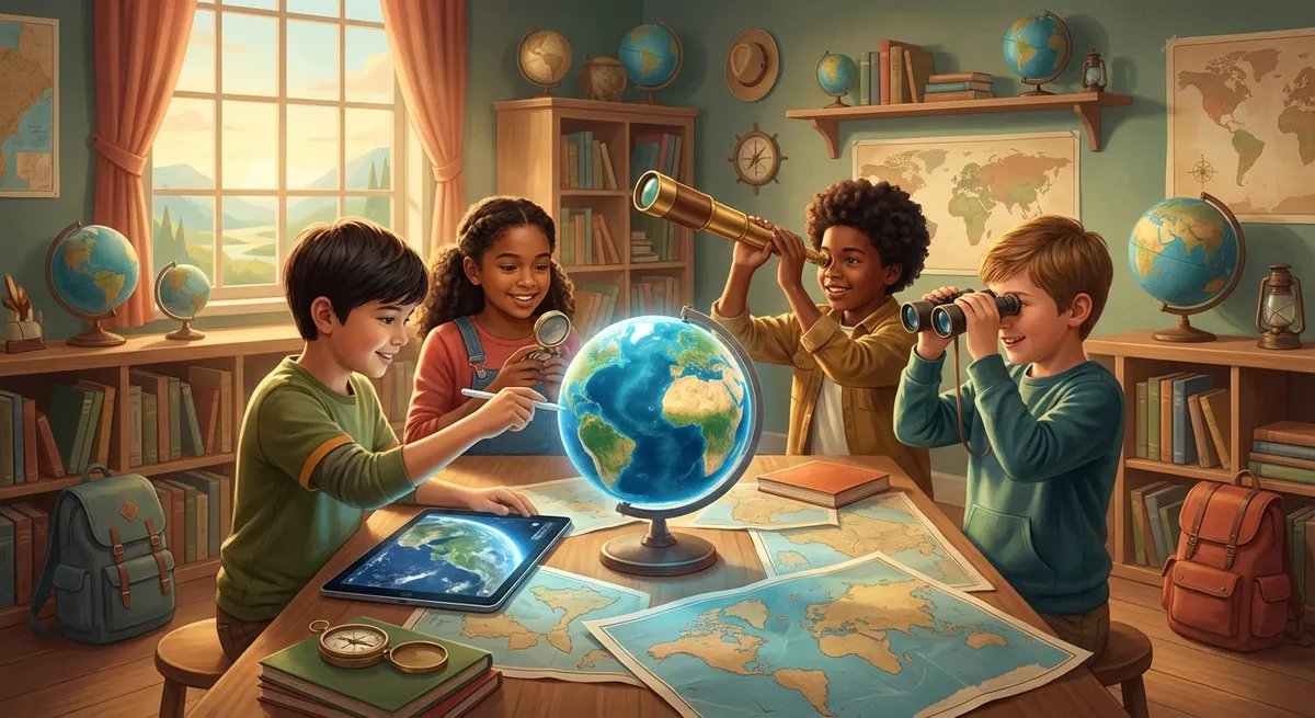
Exploring Geographic Technology
Have you ever wondered how we know where a volcano will erupt, or how a pizza delivery driver finds the fastest route to your house? The answer lies in Geographic Technology – tools that help us study, map, and understand the Earth. In this adventure, we’ll learn new words, see real‑world examples, discover cause‑and‑effect relationships, and even try a mini experiment!
1. Mapping the World: from Paper to Pixels
Cartography is the fancy word for map‑making. Long ago, explorers drew maps by hand, but today we use computers and satellites.
- Satellite – a machine that circles the Earth and takes pictures from space.
- Gis (Geographic Information System) – a computer program that layers many kinds of information (like roads, rivers, and population) onto a map.
Cause And Effect:
Because satellites can see the whole planet at once, scientists can spot deforestation (cutting down trees) quickly. Effect: governments can act faster to protect forests.
Did You Know? The first GPS (Global Positioning System) satellites were launched by the U.S. military in the 1970s, but now anyone with a smartphone can use GPS to find directions!
2. Gps: Your Personal Treasure Hunt
GPS uses signals from at least four satellites to pinpoint your exact location on Earth.
- Signal – invisible waves that travel from the satellite to your device.
Example: When you ask your phone, “Where am I?” it talks to satellites, calculates distances, and shows you a dot on a map.
Cause And Effect:
Because GPS can give precise coordinates, rescue teams can locate hikers lost in the mountains. Effect: Fewer people get stuck for long periods.
3. Remote Sensing: Seeing What Eyes Can’t
Remote sensing means gathering information about the Earth without touching it, usually from airplanes or satellites.
- Infrared – a type of light we can’t see, but that shows heat.
Example: Farmers use infrared images to see which parts of their fields are dry and need water.
Cause And Effect:
Because infrared can reveal hidden moisture, farmers water only the dry spots. Effect: They save water and grow healthier crops.
4. Did You Know?
- The Blue Marble photo taken by the Apollo 17 crew in 1972 was the first full‑Earth picture ever captured.
- Some animals, like sea turtles, use Earth’s magnetic field (a natural “GPS”) to travel thousands of miles to the beach where they were born.
Mini Experiment: Make Your Own Room Map 📏
What You Need:
- A sheet of graph paper (or plain paper)
- A ruler
- Colored pencils
Steps:
- Stand in the middle of your room and look around.
- Draw the walls as a rectangle on the paper.
- Mark where the door, windows, and furniture are. Use a different color for each item.
- Add a Legend (a key) that explains what each color means.
**.