Map Projections
What Is a Map?
A map is a picture of the Earth drawn on flat paper or a screen. It shows where places are and how far apart they are. Because the Earth is a sphere, turning it into a flat picture needs a special trick.
Why Do We Need Projections?
When we flatten a round surface, some parts get stretched or squished. A Projection is a rule that tells us how to change the round Earth into a flat map. Each rule keeps different things correct—sometimes the shape, sometimes the size, sometimes the distance.
Types of Projections
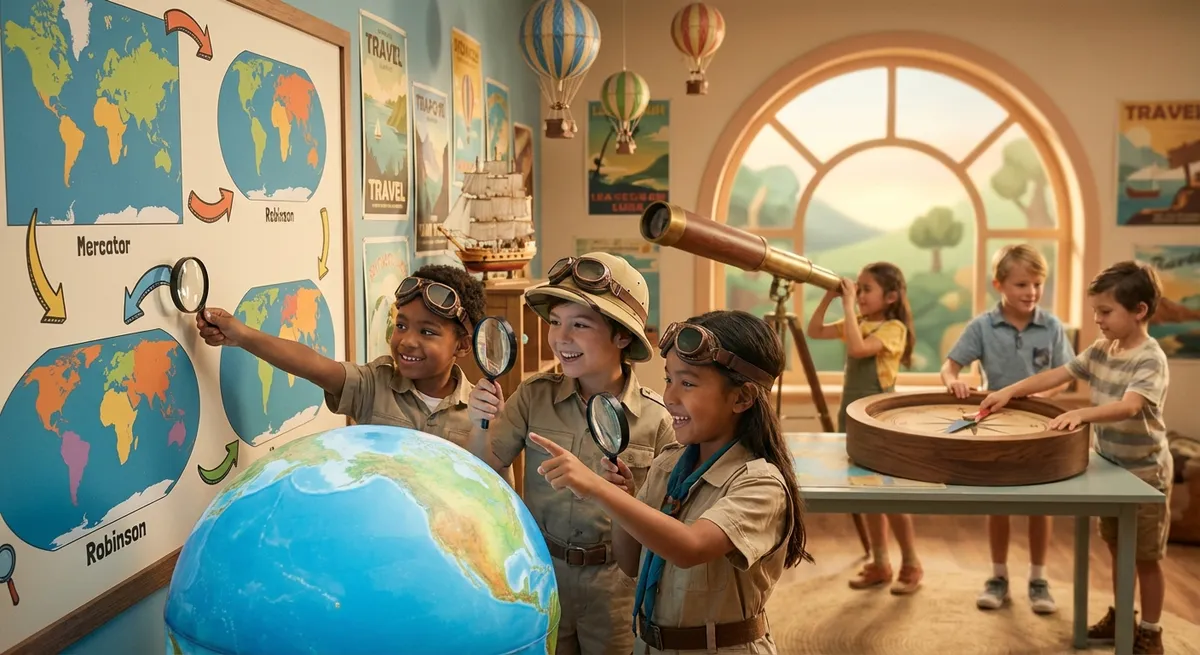
Mercator
- Keeps straight lines for north‑south and east‑west directions.
- Great for sailors who follow straight compass courses.
- Makes areas near the poles look much larger than they really are.
Equal‑area (globe‑like)
- Shows the true size of continents and oceans.
- Africa appears about the same size as South America, not tiny.
- Shapes can look a bit stretched.
Robinson
- Tries to balance shape and size so the world looks nice.
- Not perfect for any one measurement, but good for classrooms and posters.
How to Read a Map
- Look at the title to see which projection was used.
- Remember that some parts may be bigger or smaller than in real life.
- Use the map for the purpose you need—travel, learning, or just exploring.
Every map you see uses a projection, and knowing a little about them helps you understand why maps look the way they do.